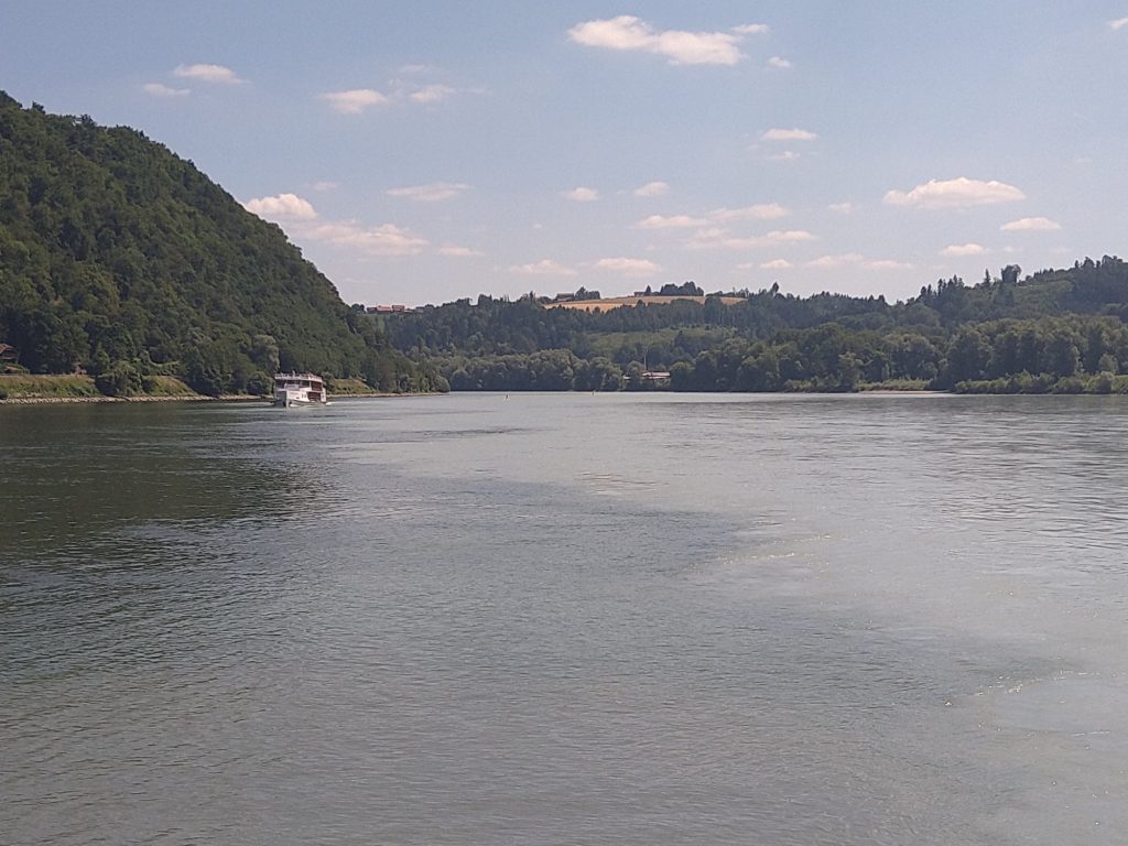
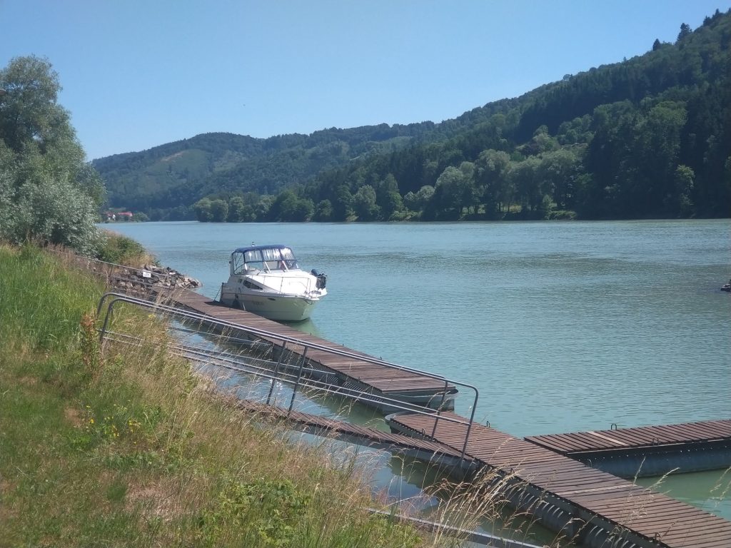
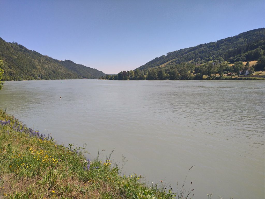
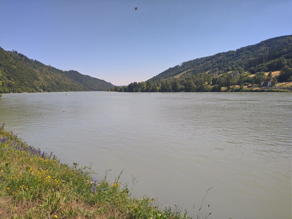
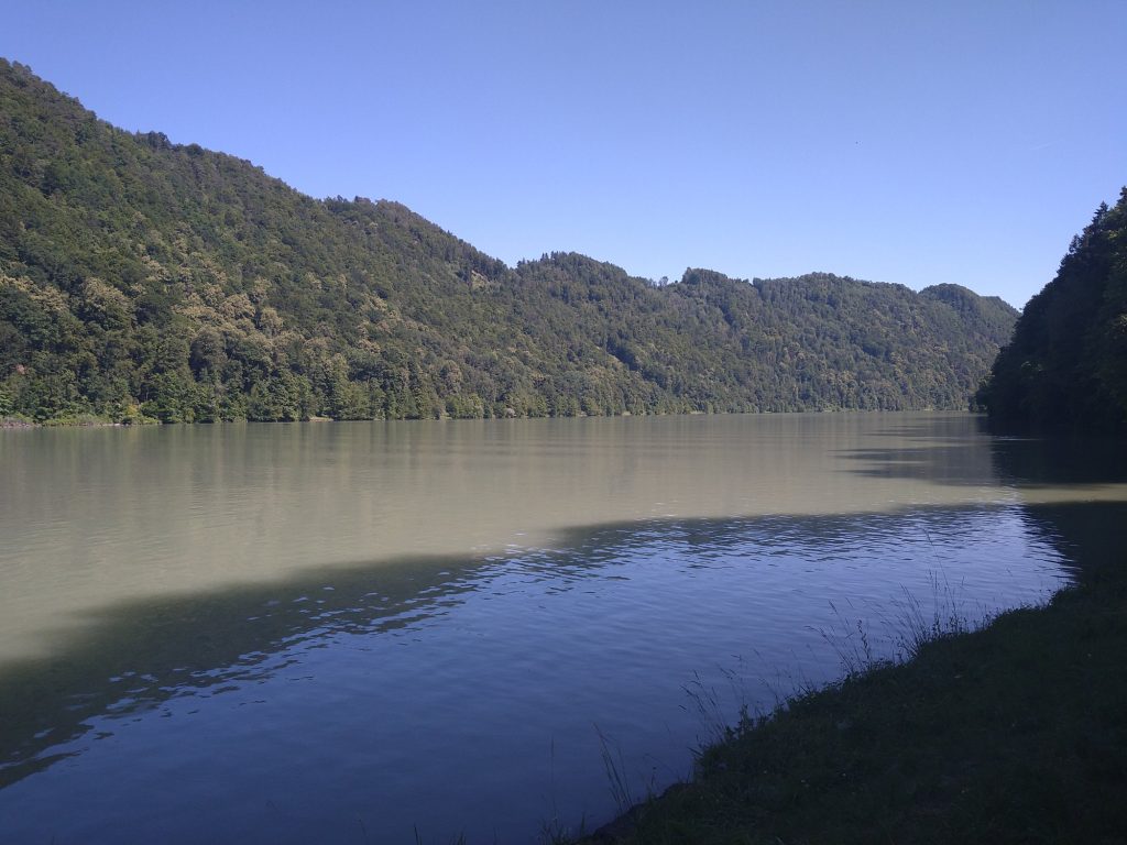
102km today. Warm, but (fortunately) not quite as warm as it has been. I set off from the small campsite and rejoined the river. The start of the day was similar to yesterday – flat (presumably floodplain) farmland and flood protection banks. The path was soon following the river more closely giving nice views
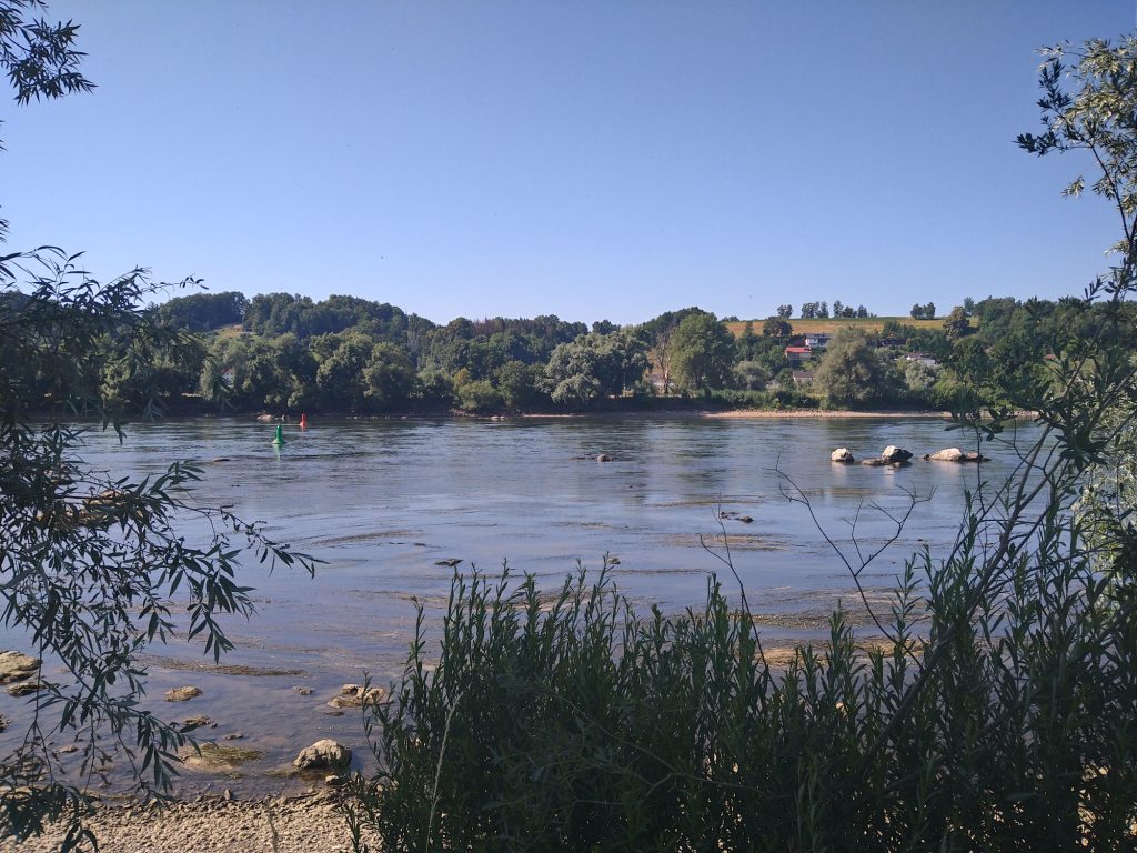
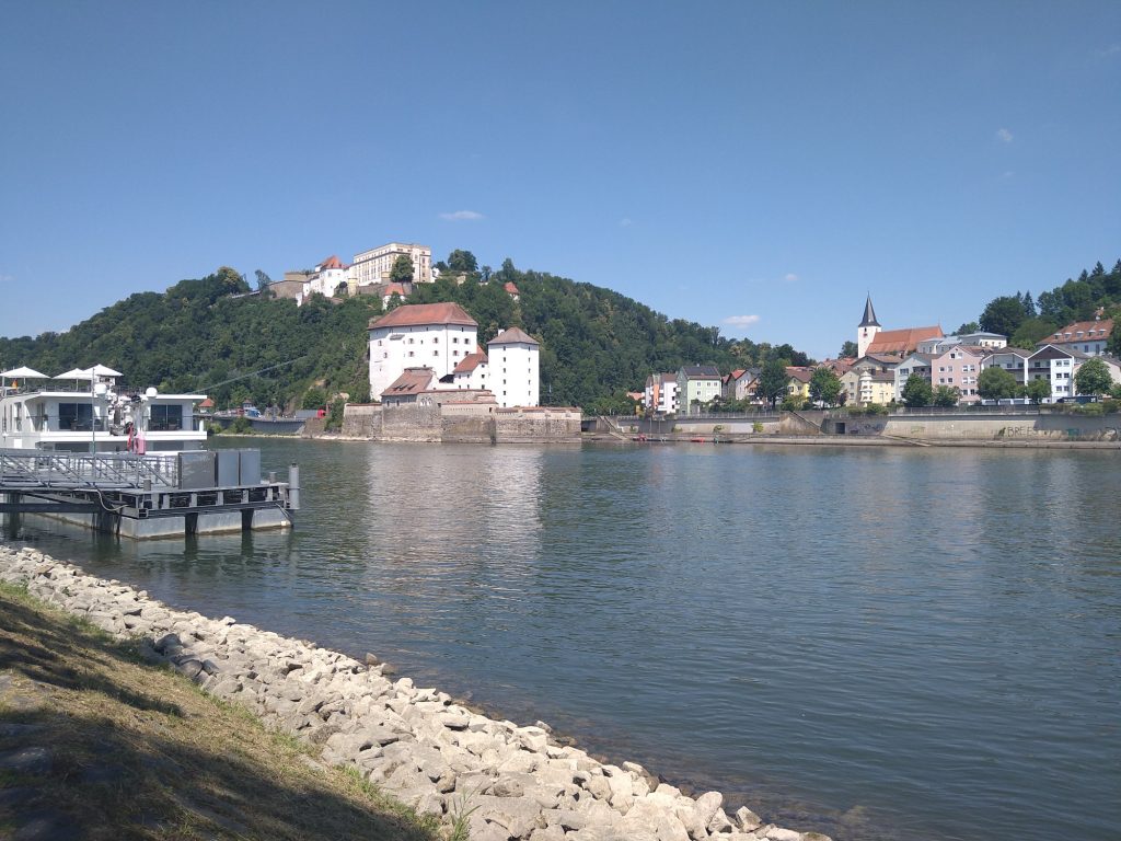
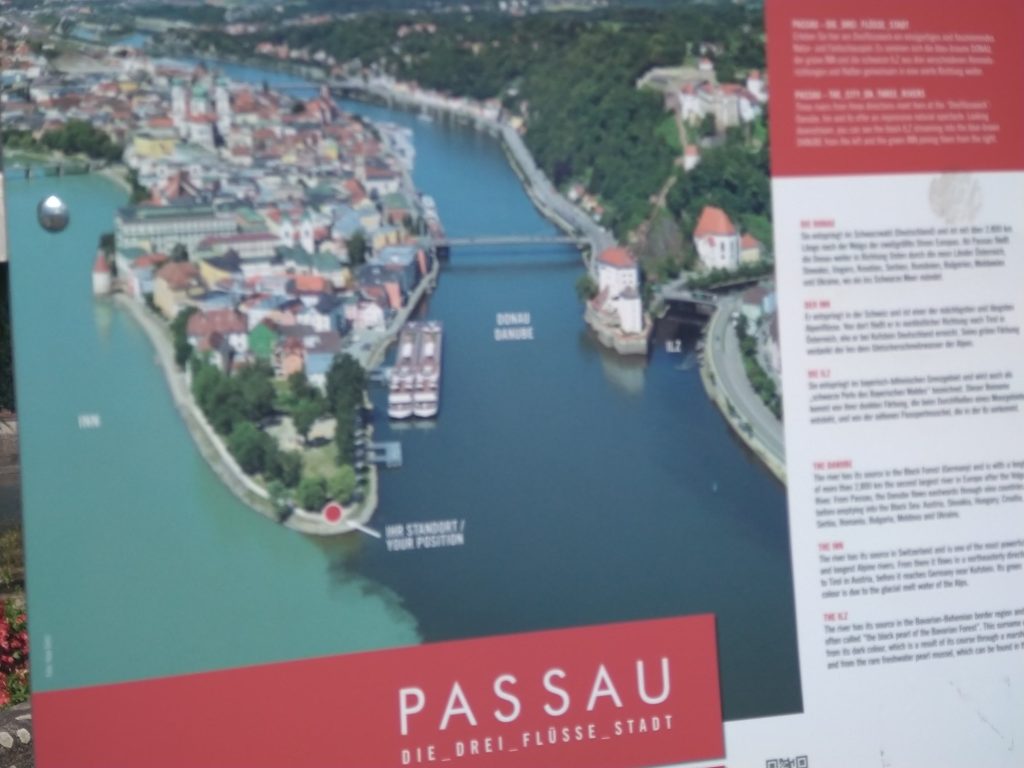
The riding was quick and I was soon on the outskirts of Passau. The town is long and thin, being sandwiched between the Danube and the Inn. The Ilz also joins, so the town is known as the “Dreiflüssestadt” (three river town).
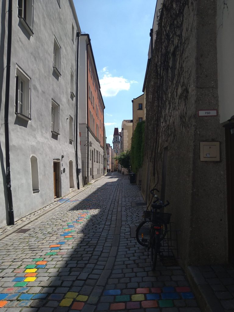
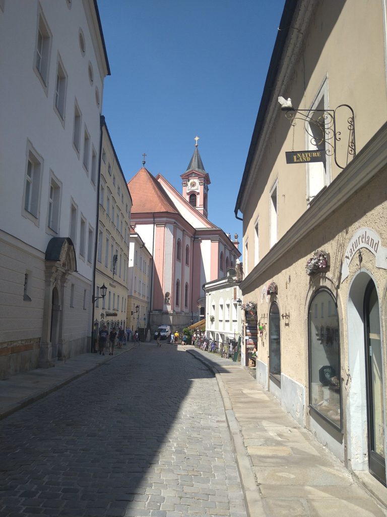
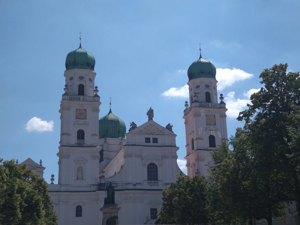
After some not particularly good cycling infrastructure (including a very steep and narrow underpass), I reached the old town, which was very beautiful, especially the cathedral. There was lots of tourism, though fewer large groups than I’d seen in some places.
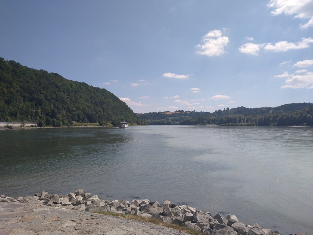
I then went to the meeting place of the three rivers. The Ilz is pretty tiny tbh, but the Inn was quite substantial. They’re all quite different colours. It was a few km downstream before the clearer Danube and milky Inn had fully mixed.
Leaving Passau I stopped at a Lidl a few miles out of town to get food for dinner. Despite being less than half way through today, this was the last big town I’d pass. Just before there was a cruise ship mooring/refueling/pumping out station, which was all rather industrial.
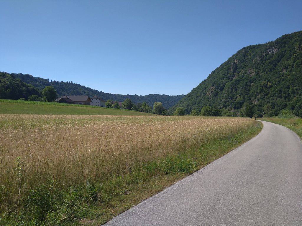
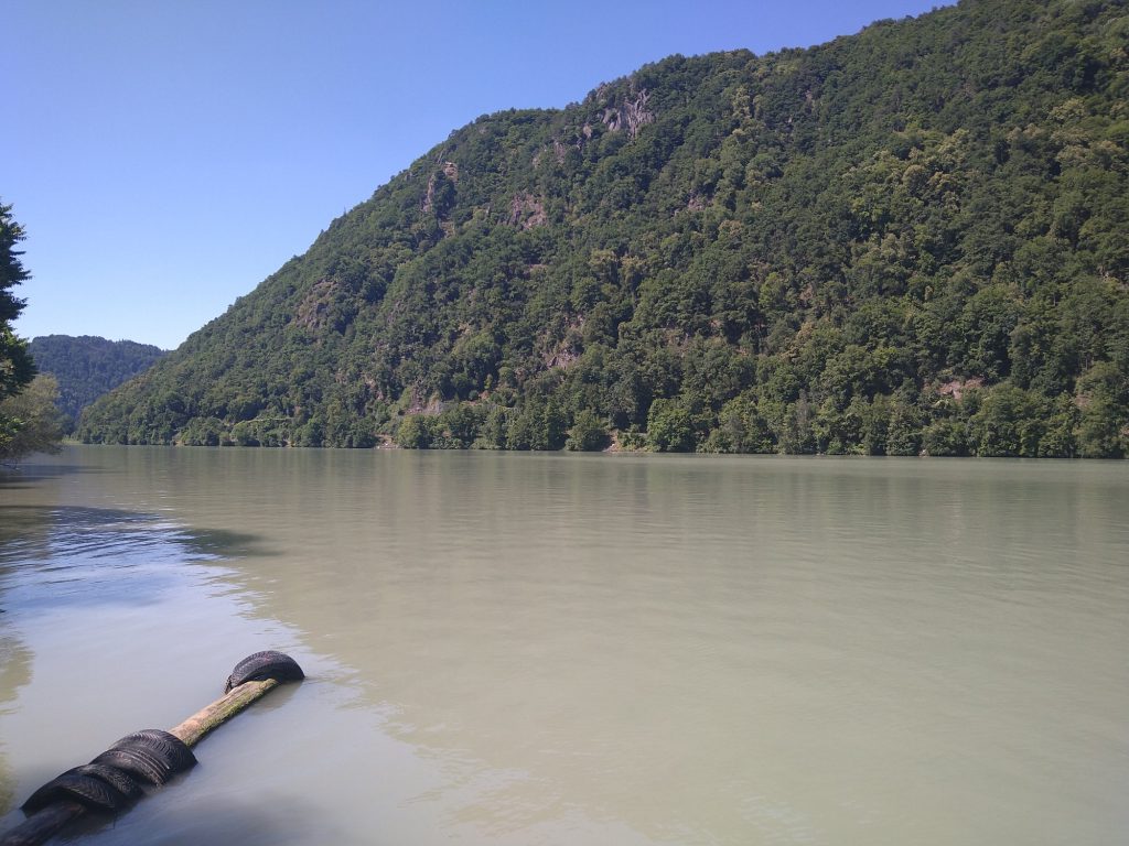
The valley then started to become narrower, giving some excellent views. The bike path followed the (not that busy) road, and went on it at a few points. There was a cruise ship shadowing me downstream for quite a way. They can certainly move – I think (from seeing e-bikes speedometers as I’ve overtaken them), I was doing about 17-18kph. I was barely going quicker than the ship.
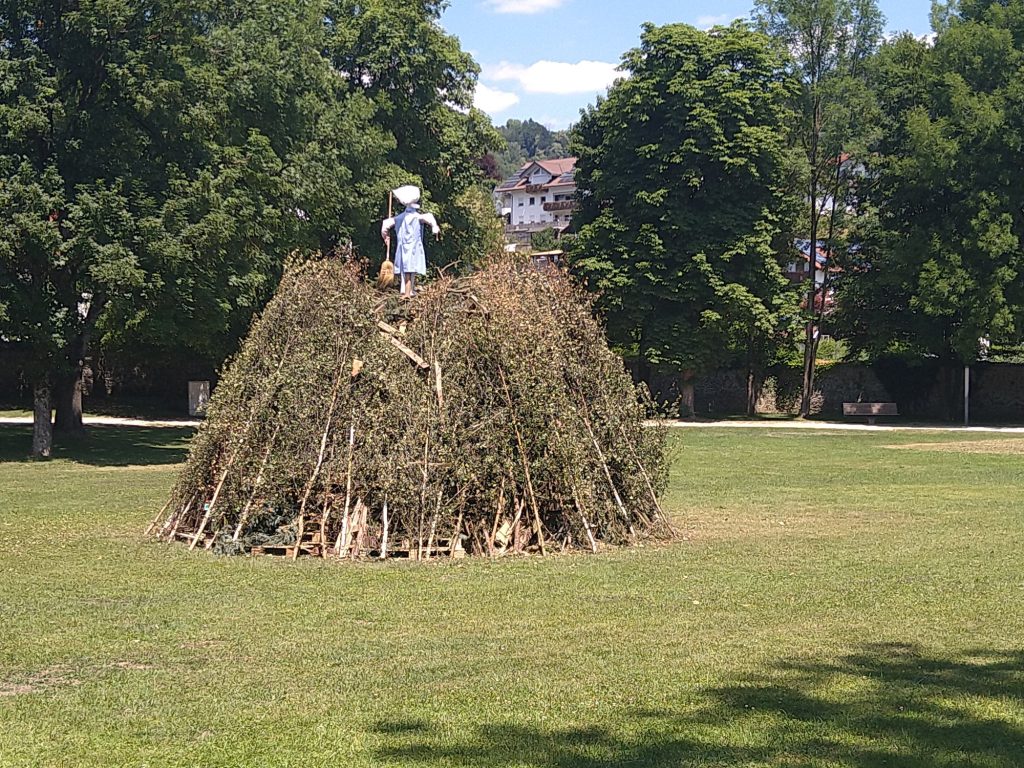
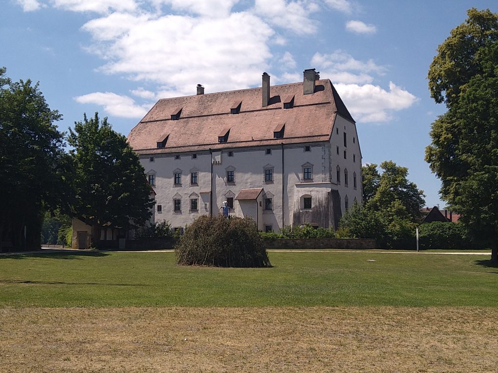
I stopped for a late lunch in Obernzell, in the castle park. There was a bonfire on the grass – not sure what it (or the person on top) is commemorating. It was very striking how neat the fire was.
Shortly after Obernzell, on the approach to the Austrian border the bike path disappeared and it was back on the road. I assume this is the Ausro-German equivalent of the M74 problem.
There wasn’t a border sign as such. I only noticed because some of the signs had changed. Doubling back briefly, here’s the border:
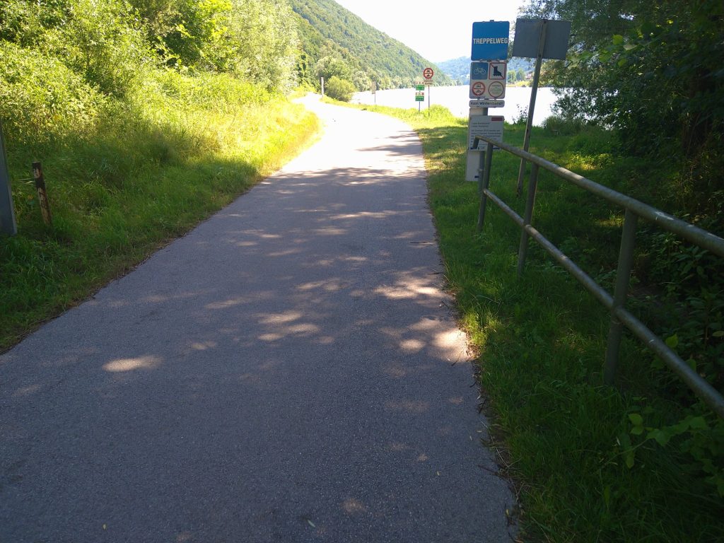
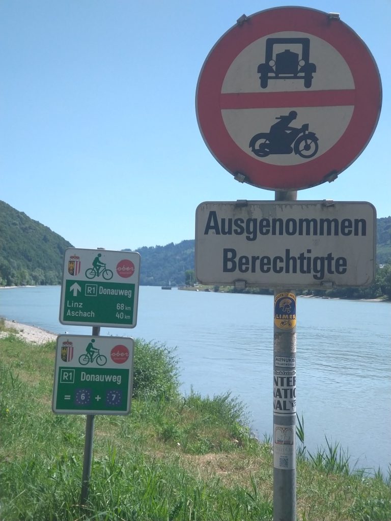
Lots more gorge and views.
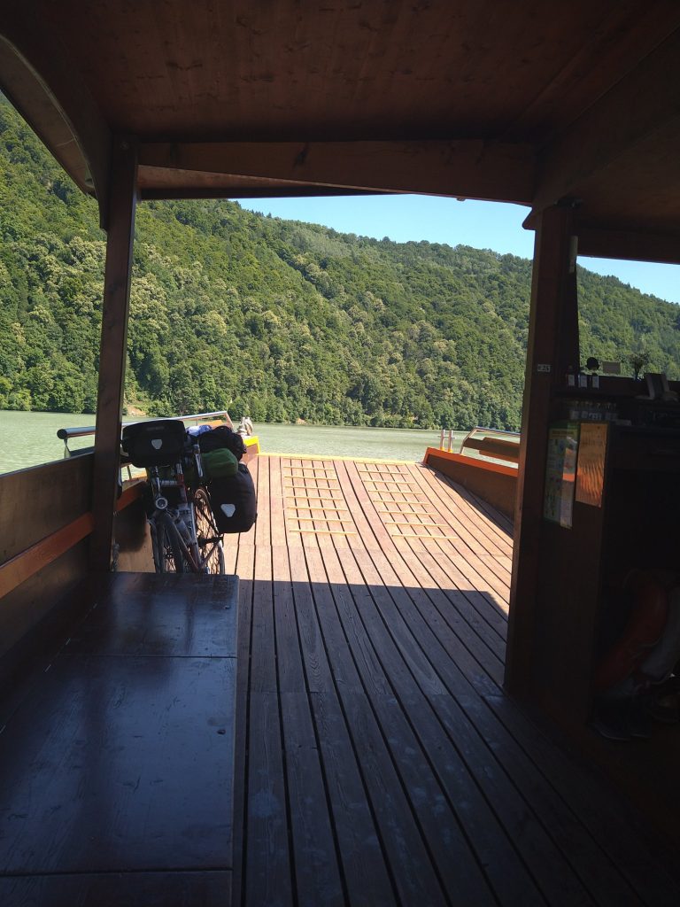
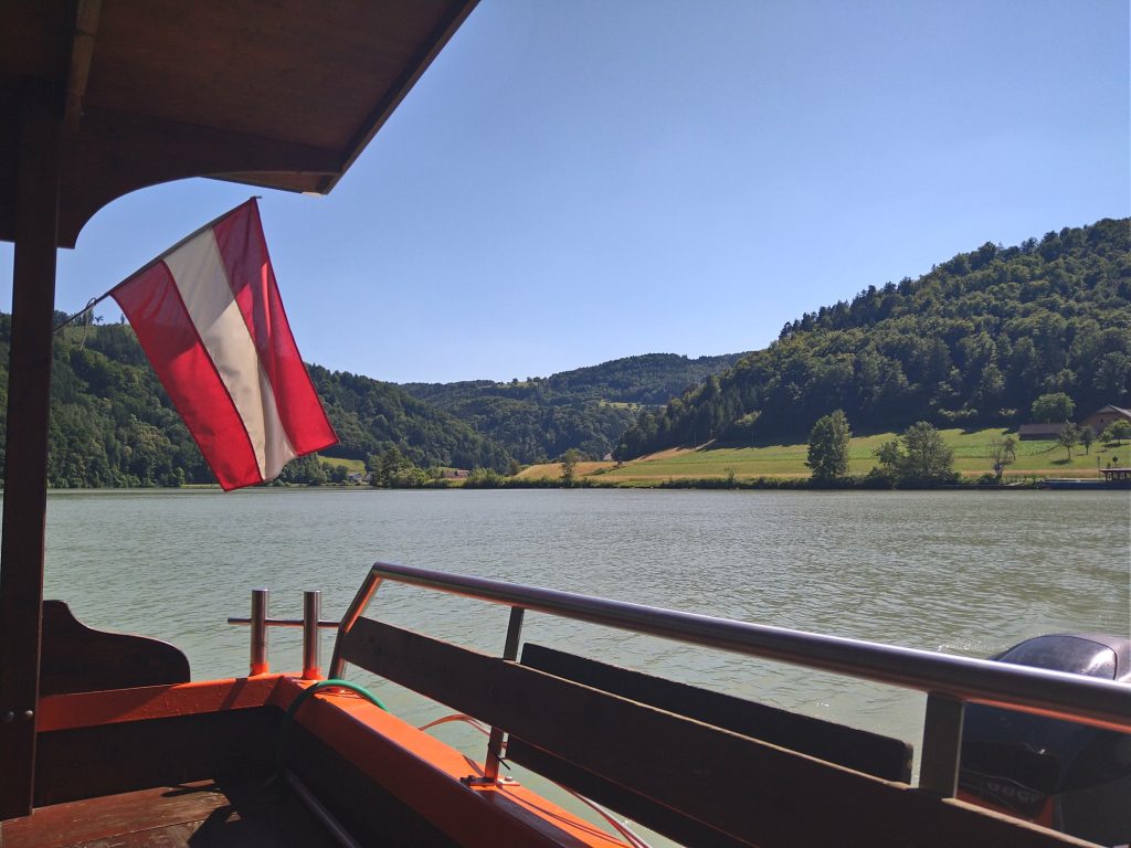
Shortly before the planned end of today’s ride, I needed to take a ferry over to the other side to reach the campsite. This was on a particularly pretty part of the route
I’d planned to stop at Inzell, about 5km, but as it was still quite early I decided to head on to the next campsite at Kaiserhof. This was another 10-15km. It’s a nice setting, but mostly “static” caravans. Few other campers.
